
 By Global Arena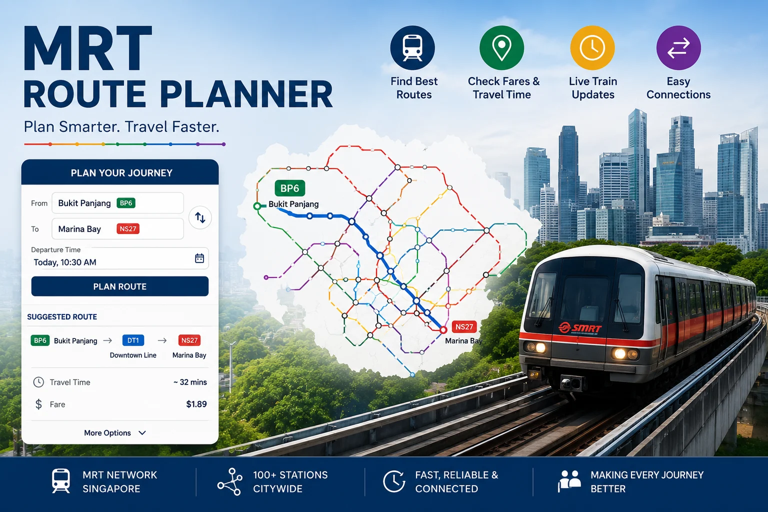
Getting around Singapore is surprisingly simple, but the MRT network can feel a little overwhelming when you’re travelling to a new place. With dozens of stations, multiple lines, and frequent interchanges, figuring out the fastest route isn’t always as straightforward as it looks on a map.
That’s where an MRT Route Planner becomes incredibly useful.
Whether you’re a daily commuter heading to work, a tourist exploring Singapore’s attractions, or a student travelling across the island, a route planner helps you find the best train connections, estimated travel time, and interchange points within seconds.
Singapore’s MRT system is one of the most efficient public transport networks in the world. Still, knowing how to use it properly can save you time, reduce unnecessary walking, and make your journey much smoother.
What Is an MRT Route Planner?
An MRT Route Planner is a digital tool designed to help passengers plan their train journeys across Singapore’s Mass Rapid Transit (MRT) network.
Instead of manually checking every station and line, the planner automatically calculates the most suitable route based on your starting point and destination.
You simply enter:
- Your starting MRT station or location
- Your destination station or area
- Your preferred travel options
The planner then provides details such as:
- Recommended MRT lines
- Number of transfers required
- Estimated journey duration
- Interchange stations
- Walking directions between stations
- Alternative routes
It’s basically like having a personal travel assistant in your pocket.
And honestly, for a city like Singapore where time matters, that little bit of guidance can make a big difference.
Why Use an MRT Route Planner in Singapore?
Singapore’s MRT network continues to expand, connecting more neighbourhoods every few years. While this makes travelling easier, it also means there are more routes to consider.
Here are some reasons why using an MRT Route Planner is helpful.
1. Find the Fastest Route Without Guesswork
Many destinations have multiple possible MRT routes.
For example, travelling from one side of Singapore to another might involve:
- A direct train ride
- One interchange
- Two different lines
- A combination of MRT and walking
A route planner compares available options and highlights the quickest choice.
This is especially useful during peak hours when a slightly longer route with fewer transfers may actually be more comfortable.
2. Save Time During Daily Commutes
For regular commuters, every minute counts.
A few minutes saved each day can add up over weeks and months. An MRT Route Planner helps commuters understand:
- Which station exit to use
- Where to transfer
- How long the journey may take
- Which route avoids unnecessary walking
Office workers travelling to business districts like Raffles Place, Marina Bay, or Bugis can benefit greatly from planning ahead.
3. Perfect for Tourists Visiting Singapore
Singapore has many popular attractions connected by MRT, including:
- Marina Bay Sands
- Gardens by the Bay
- Sentosa Island
- Orchard Road
- Chinatown
- Little India
- Singapore Zoo
Visitors unfamiliar with Singapore’s transport system often find the MRT map confusing at first.
A route planner removes the stress.
Instead of asking “Which line should I take?” every few minutes, travellers can simply follow step-by-step directions.
How to Use an MRT Route Planner Effectively
Using an MRT Route Planner is usually simple, but a few tips can make your journey even better.
Step 1: Enter Your Exact Starting Point
Your starting location does not always have to be an MRT station.
Many planners allow you to enter:
- Hotels
- Shopping malls
- Landmarks
- Residential areas
The tool can then suggest the nearest MRT station.
For example, if you are staying near Orchard Road, the planner may recommend Orchard MRT Station or Somerset MRT Station depending on your exact location.
Step 2: Add Your Destination
Enter where you want to go.
This could be:
- Another MRT station
- A building
- A tourist attraction
- A neighbourhood
The planner will calculate possible routes automatically.
Step 3: Compare Different Routes
Sometimes the first suggested route is not always the best one.
A good MRT Route Planner may show multiple choices:
- Fastest route
- Route with fewer transfers
- Route with less walking
For elderly passengers, families with children, or travellers carrying luggage, fewer transfers may be more convenient.
Understanding Singapore MRT Lines
To use a route planner confidently, it helps to understand the main MRT lines.
North South Line (Red Line)
The North South Line connects northern areas like Woodlands and Yishun to central locations including Orchard and City Hall.
It is one of Singapore’s oldest and busiest MRT lines.
Popular stops include:
- Orchard
- Dhoby Ghaut
- City Hall
- Marina South Pier
East West Line (Green Line)
The East West Line connects western Singapore with the eastern side, including Changi Airport.
Important stations include:
- Jurong East
- Bugis
- Tanah Merah
- Changi Airport
This line is especially useful for airport travellers.
Circle Line (Yellow Line)
The Circle Line creates connections around central Singapore and links many attractions.
Popular stations include:
- HarbourFront
- Botanic Gardens
- Promenade
It helps reduce the need to travel through the city centre.
Downtown Line (Blue Line)
The Downtown Line connects residential areas with business and shopping districts.
Key stations include:
- Bugis
- Downtown
- Chinatown
- Beauty World
Thomson-East Coast Line (Brown Line)
The Thomson-East Coast Line is one of Singapore’s newer MRT additions.
It improves connectivity between areas such as:
- Woodlands
- Thomson
- Orchard
- Marina Bay
As new stages open, route planning becomes even more important.
Features to Look For in a Good MRT Route Planner
Not all route planners provide the same experience.
A reliable planner should include useful features like:
Real-Time Travel Information
Train delays, maintenance works, or service disruptions can affect your journey.
Real-time updates help passengers adjust their plans quickly.
Fare Estimation
Knowing your estimated fare helps with budgeting, especially for visitors using stored-value cards or tourist passes.
First and Last Train Timing
This feature is important for:
- Late-night workers
- Airport travellers
- Event visitors
Missing the last train can turn a simple journey into a frustrating situation.
Walking Directions
Some MRT stations are large, with multiple exits and underground links.
Walking guidance helps passengers find:
- The correct station exit
- Nearby buildings
- Connecting bus stops
MRT Route Planner Tips for a Smoother Journey
A little preparation goes a long way.
Here are some practical tips:
Check Your Route Before Leaving
Spend a few seconds planning before you start your trip.
It avoids standing around at the station trying to figure out the map.
Avoid Peak Hour Crowds When Possible
Singapore MRT trains are busiest during:
- 7:30 AM to 9:30 AM
- 5:30 PM to 7:30 PM
If your schedule is flexible, travelling outside these periods can make your journey more comfortable.
Keep Alternative Routes in Mind
A station closure or crowded platform can happen unexpectedly.
Having a backup route is always helpful.
Pay Attention to Interchange Stations
Some interchanges require longer walking distances.
Stations like Dhoby Ghaut and Bugis connect multiple lines, so follow the signs carefully.
MRT Route Planner vs Traditional MRT Maps
Traditional MRT maps are still useful. They provide a big-picture view of Singapore’s rail network.
But they have limitations.
A map can show where stations are located, but it does not always tell you:
- The fastest route
- Walking distance
- Transfer time
- Real-time delays
An MRT Route Planner combines the convenience of a map with personalised directions.
For modern commuters, it’s simply more practical.
Final Thoughts on Using an MRT Route Planner
Singapore’s MRT system is designed to make travelling easy, but planning your journey can make it even better.
An MRT Route Planner helps commuters and visitors choose smarter routes, avoid confusion, and spend less time figuring out directions.
Whether you’re travelling across the island for work, exploring Singapore’s attractions, or simply heading somewhere new, having a reliable route planner makes the experience smoother.
The MRT network may look complicated at first glance. But once you know how to plan your journey, moving around Singapore becomes quick, convenient, and surprisingly enjoyable.